How you can use this image
This image can be used for non-commercial research or private study purposes, and other UK exceptions to copyright permitted to users based in the United Kingdom under the Copyright, Designs and Patents Act 1988, as amended and revised. Any other type of use will need to be cleared with the rights holder(s).
Review the copyright credit lines that are located underneath the image, as these indicate who manages the copyright (©) within the artwork, and the photographic rights within the image.
The collection that owns the artwork may have more information on their own website about permitted uses and image licensing options.
Review our guidance pages which explain how you can reuse images, how to credit an image and how to find images in the public domain or with a Creative Commons licence available.
Notes
Add or edit a note on this artwork that only you can see. You can find notes again by going to the ‘Notes’ section of your account.
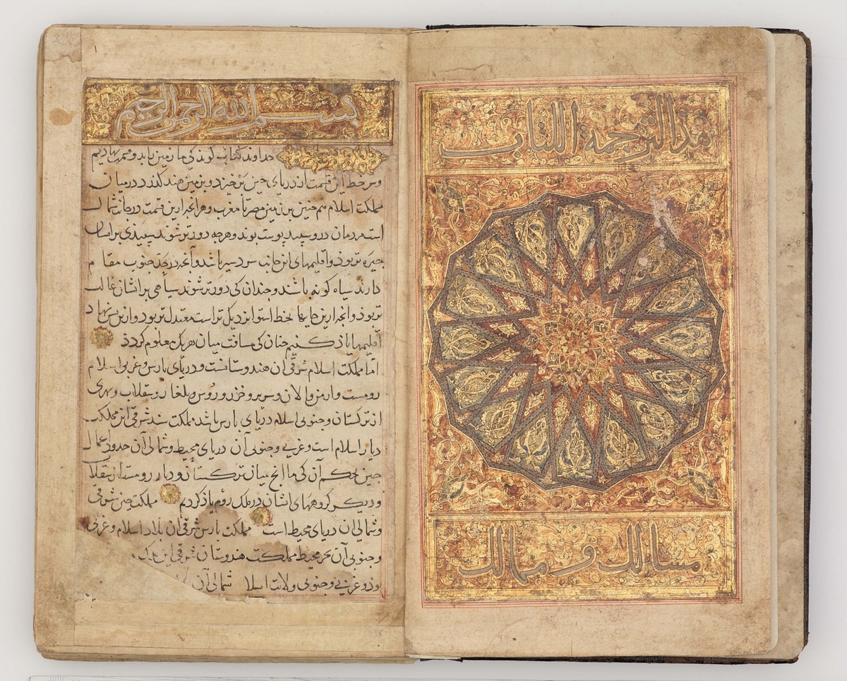
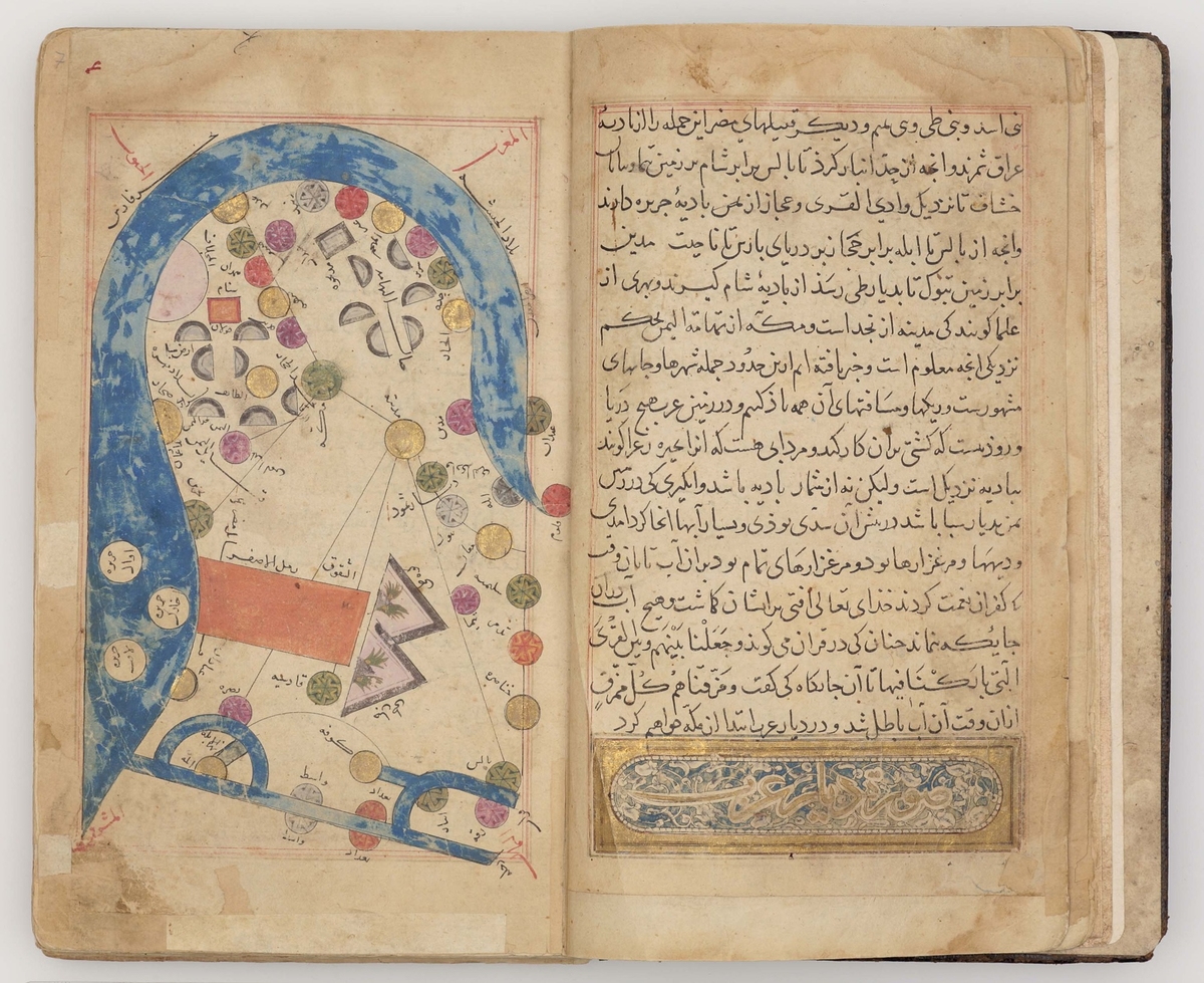
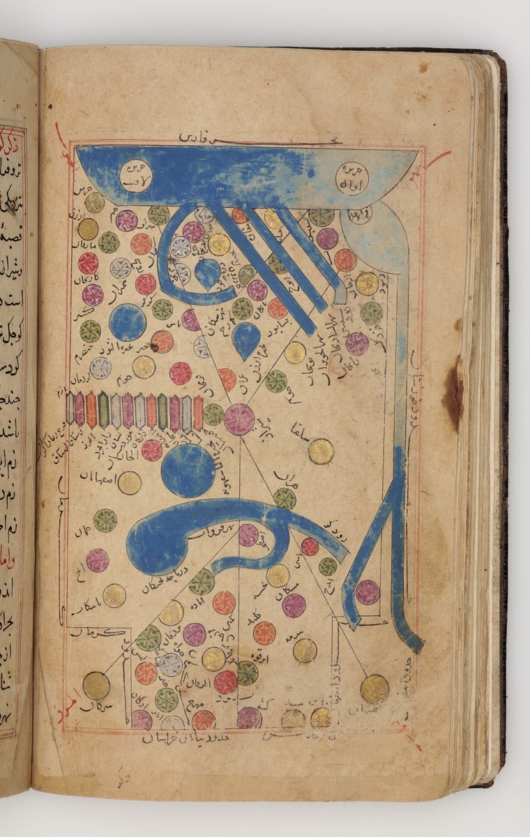
The tenth-century Persian geographer al-Istakhri was one of the most important figures in the evolution of Arab cartography. He travelled widely, but his account of Arabia (Hijaz, Yemen and the Gulf) is curiously sketchy, particularly given the importance of the Pilgrimage. This is partly because, as the title of this treatise, Kitab al-masalik wa'l-mamalik ('the book of postal routes and kingdoms'), suggests, it is based on lists of stations on the postal routes of the Abbasid heartlands and in Iran, which were not available for Arabia and Egypt. In its present state the manuscript is incomplete. It opens with a splendid page of illumination in gold and silver, and on the penultimate page (folio 120a) is a colophon with the date 706 AH, possibly a later addition.
The Khalili Collections
London
Title
Kitab al-Masalik wa'l-Mamalik of al-Istakhri
Date
706 AH (1306–1307)
Medium
ink, gold, silver & opaque watercolour on paper with contemporary leather binding
Accession number
586
Work type
Drawing
-
 Pickford Narrow Boat 'Hope' at a Lock The Canal Museum Stoke Bruerne
 -
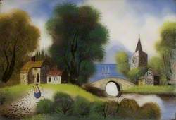 Cottage, Bridge and Church by a Lake with Yachts and Mountains Beyond The Canal Museum Stoke Bruerne
 -
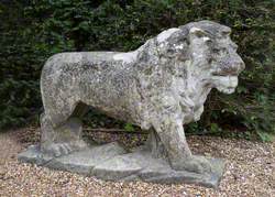 Lion* English Heritage, Walmer Castle
 -
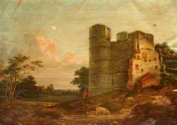 North West View of Donnington Castle, Berkshire West Berkshire Museum
 -
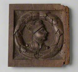 Figure in Profile on a Panel English Heritage, Temple Cloud Archaeology Store
 -
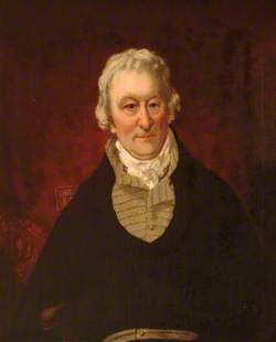 Samuel Slocock (1709–1760), Mayor of Newbury (c.1754) West Berkshire Museum
 -
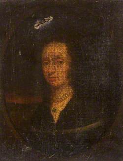 Portrait of a Lady Stockport Heritage Services
 - 34,585 more